
Ready to get on the water at Lake Tahoe?
Check dates and book online in a few minutes, or call or text us at 888-205-7119.
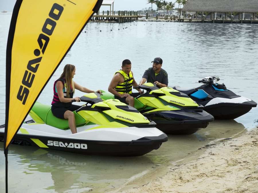 Lake Tahoe is the big blue alpine lake on the California and Nevada line, ringed by granite peaks and pine forest at more than 6,000 feet. Its water is famously clear and deep, the beaches are white sand, and a day on the water here, with a run into Emerald Bay, is one of the classic boating trips in the West. This page will help you pick a shore and plan your day on the lake. We offer the best boats, jet skis and water toys at Lake Tahoe, ready and waiting for you right at the lake.
Lake Tahoe at a Glance
- Where: on the California and Nevada state line, between Reno and Sacramento, with South Lake Tahoe, Stateline, Tahoe City and Incline Village around the shore
- Size: about 22 miles long and 12 miles wide, with roughly 72 miles of shoreline
- Depth: 1,645 feet at its deepest, the second-deepest lake in the country after Crater Lake
- Elevation: about 6,225 feet, so expect cool mornings, strong sun and cold water even in August
- Famous for: clear blue water, Emerald Bay with Fannette Island, and sandy beaches like Sand Harbor and Zephyr Cove
- Best season: June through September, with the calmest water in the morning; July and August weekends book up first
Boat and Jet Ski Rentals on Lake Tahoe
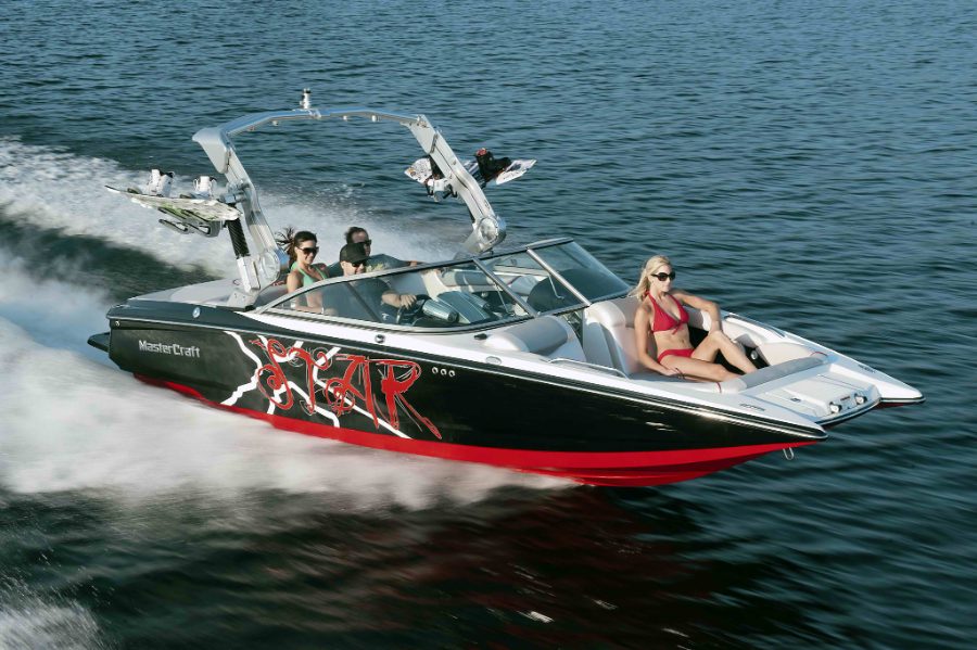
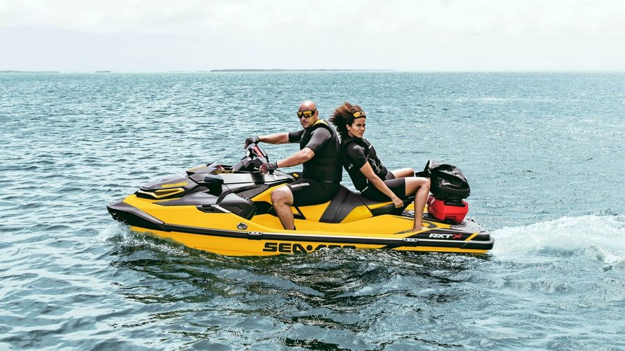
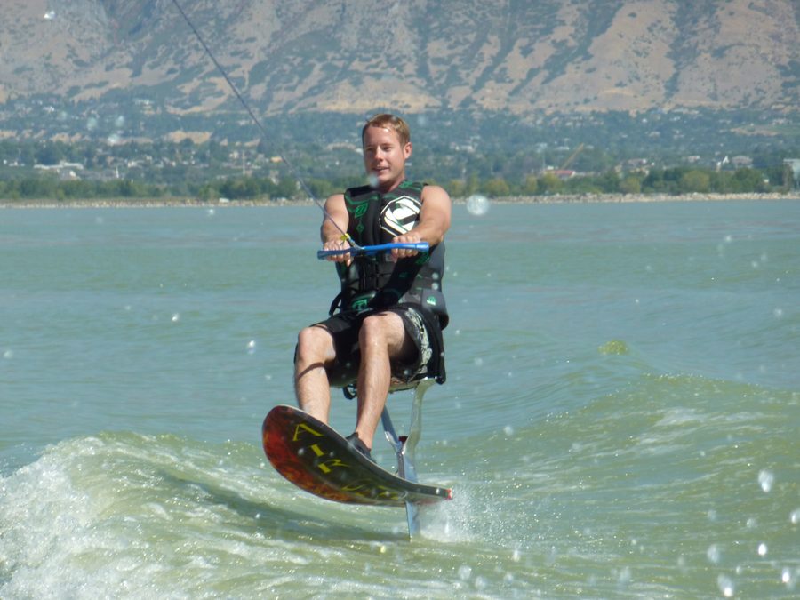
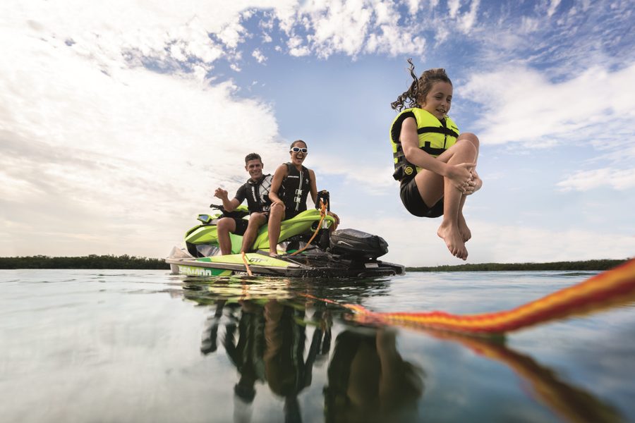
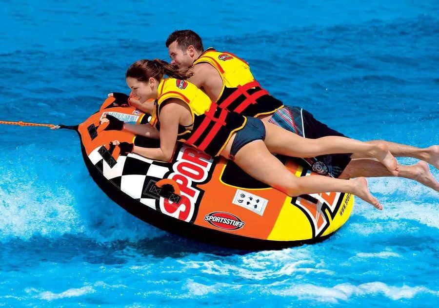
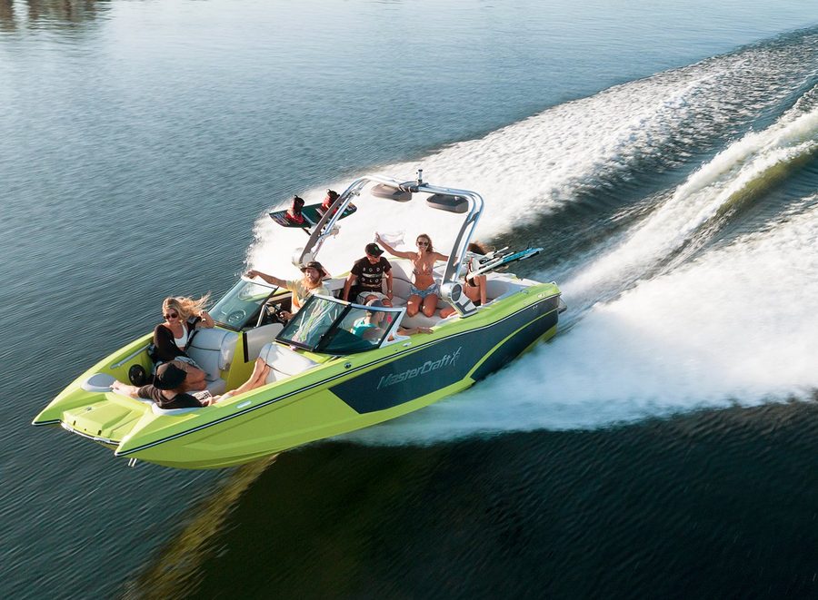
Tahoe is a lake for big views and long runs. Take a wake boat or ski boat out on glassy morning water for wakeboarding, wakesurfing and skiing, or grab a couple of jet skis and cruise the shoreline to Emerald Bay and the coves of the East Shore. Add tubes and wakesurf boards, or book a private boat charter and let a captain who knows the lake do the driving.
With a lake this size, it pays to plan your route. Most groups pick one big run, like Emerald Bay or the Nevada beaches, and save the afternoon for swimming and tubing in a calm cove.
Pick Your Shore
Tahoe has marinas on every side of the lake, and each shore has its own feel.
- South Shore. the busiest side, with Ski Run Marina, Tahoe Keys Marina and Timber Cove near the Stateline casinos, and Camp Richardson, the closest full-service marina to Emerald Bay.
- East Shore (Nevada). Zephyr Cove and Round Hill Pines on the south end, then a wild stretch of granite boulders and turquoise coves up to Sand Harbor and Incline Village.
- North Shore. Tahoe City, Tahoe Vista, Carnelian Bay and Kings Beach, with a laid-back mountain-town feel and warmer, shallower water near the beaches.
- West Shore. Sunnyside, Homewood and Meeks Bay, with forested shoreline, quieter water and the closest run to Emerald Bay from the north.
Emerald Bay and the Shoreline
Emerald Bay is the must-see. The narrow bay on the southwest shore holds Fannette Island, the only island in Lake Tahoe, and Vikingsholm, a 1920s Scandinavian-style mansion at the head of the bay. The whole bay is a 5 mph zone, so slow down, drift and take it in.
From there, the East Shore is the other classic run, with smooth granite boulders, clear turquoise water and small beaches between Zephyr Cove and Sand Harbor. If you would rather sit back, the paddle-wheelers out of Zephyr Cove and Ski Run Marina cruise to Emerald Bay all summer.
Boating at Altitude
Tahoe is a mountain lake, and it boats a little differently. The water stays cold most of the summer, so wear a life jacket and ease into it. Mornings are usually glassy, and afternoon wind can kick up real chop, so plan your skiing and wakesurfing early and keep an eye on the sky. The sun is strong at this elevation, so bring plenty of sunscreen and water.
Our Boats and Jet Skis
Getting to Lake Tahoe
Lake Tahoe is about an hour from Reno-Tahoe International Airport, the closest major airport, and about two hours from Sacramento over Highway 50 or Interstate 80. From the Bay Area, plan on roughly three and a half to four hours. Highway 50 reaches the South Shore and Stateline, Highway 89 runs up the West Shore past Emerald Bay to Tahoe City, and Highway 28 follows the North and East shores into Nevada.
Good to Know at Lake Tahoe
- Two states, one lake: Tahoe sits in both California and Nevada, and each state's boating laws apply on its side. California requires a California Boater Card to drive a motorized boat or jet ski, though people operating a rental are exempt, and Nevada requires a boater education card for anyone born on or after January 1, 1983. Our rental drivers must be 18 or older.
- No-wake zones: Tahoe has one of the strictest no-wake rules anywhere. Boats must stay under 5 mph within 600 feet of shore, within 100 feet of swimmers and paddlers, within 200 feet of piers and buoys, and in all of Emerald Bay, and it is actively patrolled.
- Life jackets: everyone on a jet ski and anyone being towed must wear a life jacket, and so must children under 13 on a moving boat.
- Cold water: even in midsummer, Tahoe's water is cold enough to take your breath away, so wear a life jacket and enter slowly.
More Lakes Near Tahoe
- Lake Tahoe lake guide, with more about the lake
- Pyramid Lake, the desert lake northeast of Reno
- Nevada lakes, from Tahoe to Lake Mead
- California lakes, from Shasta to the desert
Browse all of our houseboating and vacation lakes, or call or text us at 888-205-7119 and we'll help you plan your Lake Tahoe trip.
Lake Tahoe Map
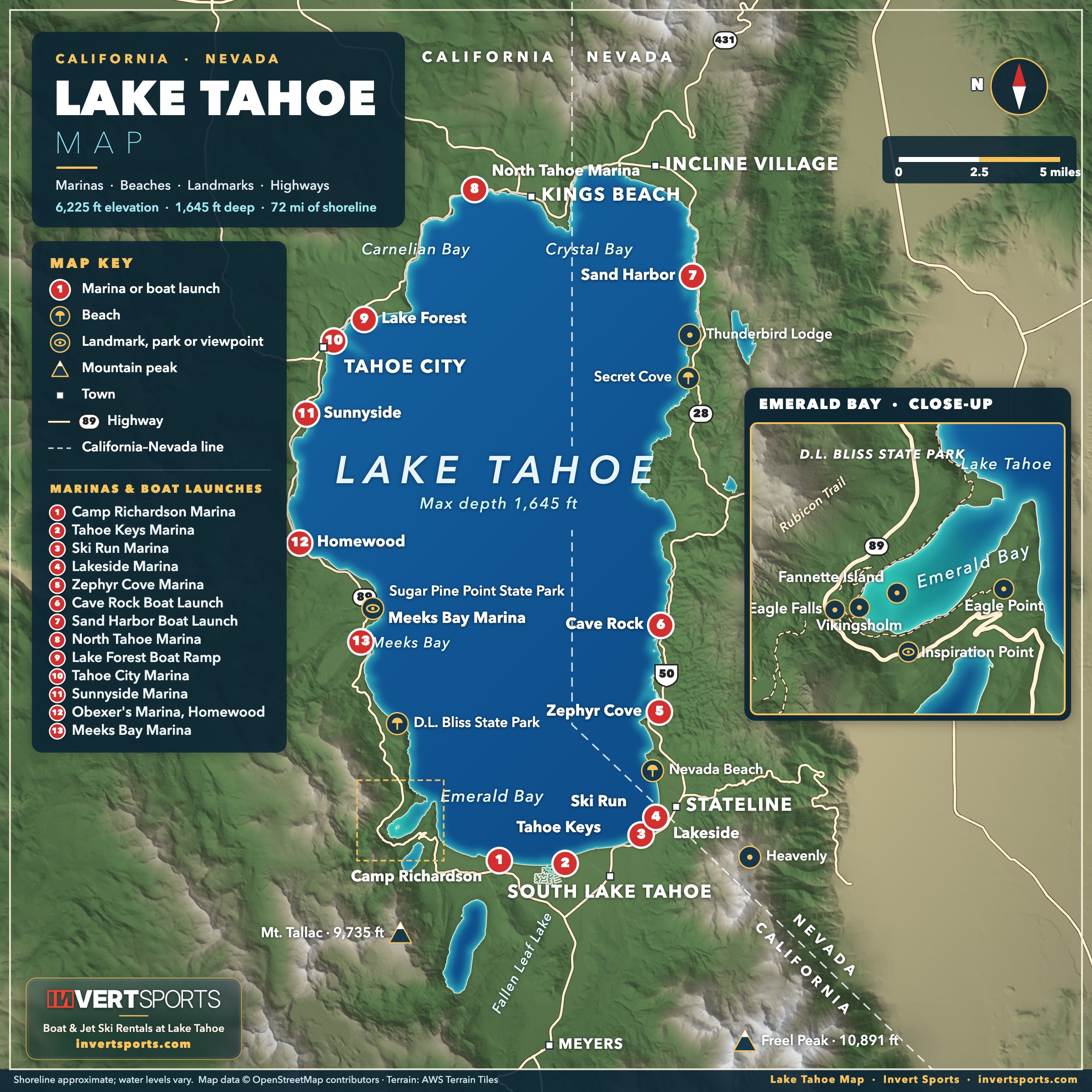
Our Lake Tahoe map shows the marinas, boat launches, beaches and landmarks around the lake, plus a close-up of Emerald Bay. Click the map to open the full-size version.
Popular stops by boat include Emerald Bay and Fannette Island, Sand Harbor, Secret Cove, D.L. Bliss State Park and Zephyr Cove. Marinas and boat launches around the lake include Tahoe Keys, Ski Run, Lakeside, Camp Richardson, Zephyr Cove, Cave Rock, Sand Harbor, Tahoe City, Sunnyside, Homewood and Meeks Bay.
Use the interactive map below to zoom in and explore the lake.
